Vacation 2011 T
West of Pomona - 29 Palms - Blythe CA - through Phoenix AZ -
Lordsburg NM - El Paso - Alpine, Texas
Saturday - - 30 July 2011
Left Pomona CA KOA campground mid-morning and drove East by 29 Palms and other very arid places in Eastern southern California.
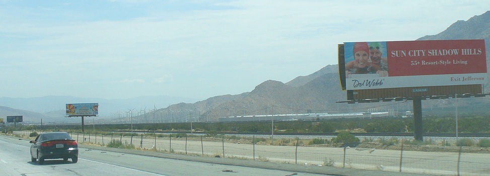
Sun City CA - arid - some smog - quite a nest of electricity generating windmills.
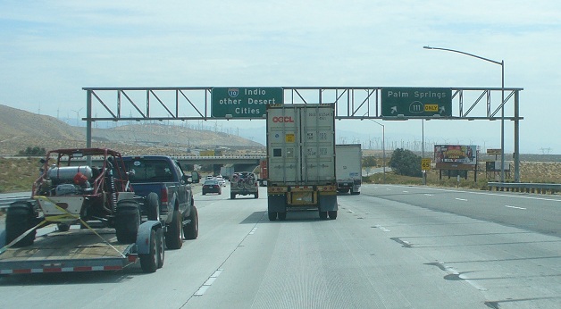
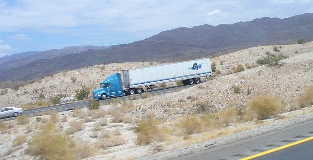
traffice heading on into the desert via IH 10
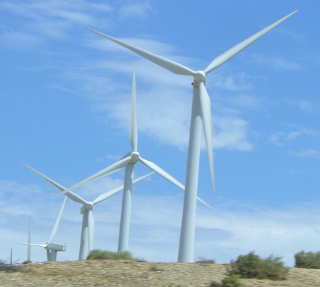
desert windmill - wonder if it generates enough to run airconditining
Truly bleak near 29 Palms. After seeing the lush foliage and big trees this area does not cause me to want to visit.
Just a few miles further there is the turnoff to the Salton Sea, which is below sea level,
and was created by an engineering mistake causing the Colorado River to reverse flow at its southern end
for long enough to create this salty inland sea.
desert traffic - bare mountains in the background
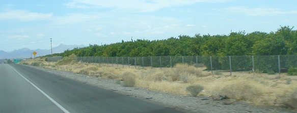
Blyth CA - citrus trees at the right are growing due to water taken from
the Colorado River which is just 6 miles away on the east side of Blyth.
We stopped in Blyth CA for gas and lunch at a Subway sandwich shop.
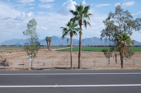
It is amazing that as soon as one enters Arizona one begins to see
saguaro cactus (Carnegiea gigantea) which is one of the defining plants of the Sonoran Desert
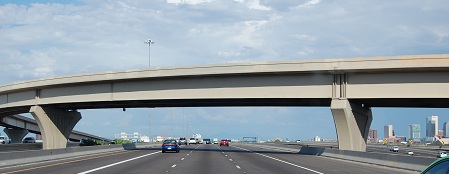
Phoeniz, Arizona - while we were driving through it was 112 deg. F.
We did not stop - we did not roll down the window, just kept going on their most excellent freeway.
- 
Eucalyptus trees - looking in to town
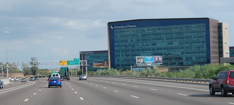
Amazing - Univ. of Phoenix, in Phoenix (is mostly on on-line university)
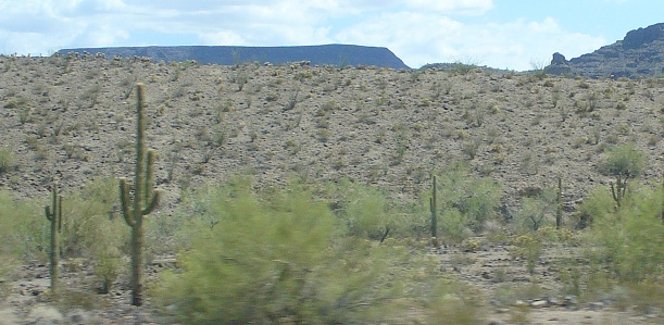
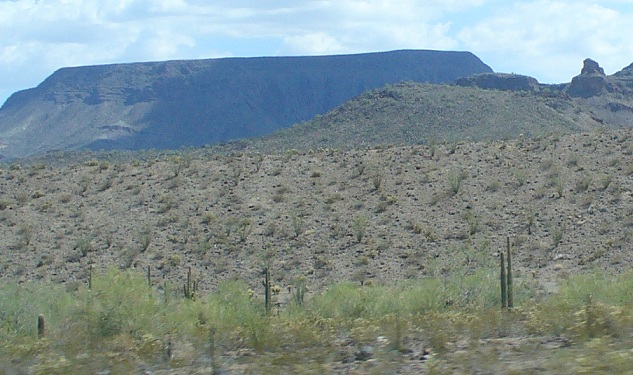
between Phoenix and Tucson - bigger cactus
We went off the Interstate into Casa Grande AZ and bought the least expensive gas on the whole trip.
As we drove past Tucson we got into a huge thunderstorm. Heavy rain and the tempreture plumeted.
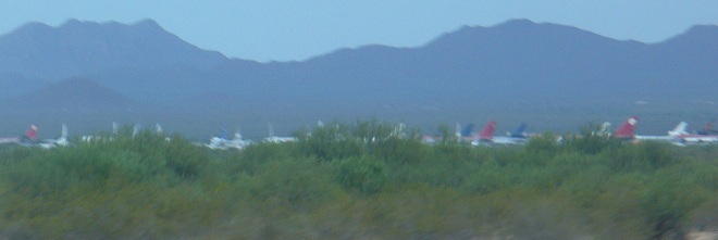
As the light was failing we drove past that huge graveyard of aircraft.
Photo blurry as we were making good time.
It was cool enough in Lordsburg, NM that we did not run the air conditioner at night.
~ ~ ~
Sunday - - 31 July 2011
We left early, after a sunrise breakfast on the picnic table by our campsite.
We backtracked nearly a mile to a truck stop seen on the way in to town for a good price for gas.
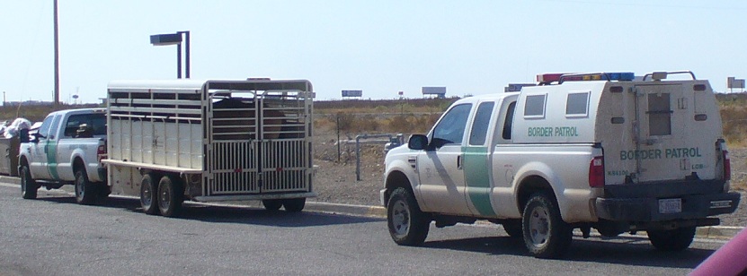
There were several Border Patrol trucks fueling up there, two with large horse trailers filled with matched horses
which seemed a matched bunch, like those in US Army Cavalry in years past.
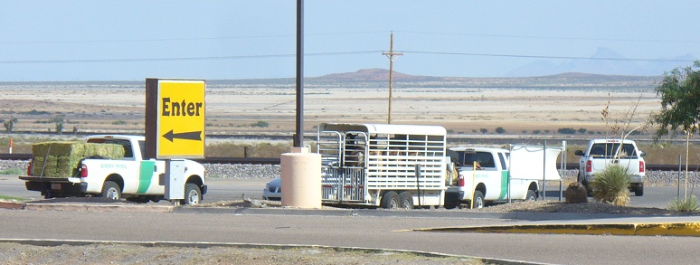
Another large pickup truck was full of fuel for the horses... full of bales of hay.
-
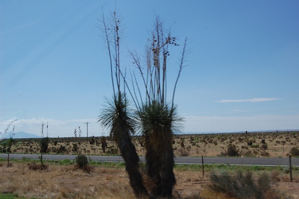
East of Lordsburg NM
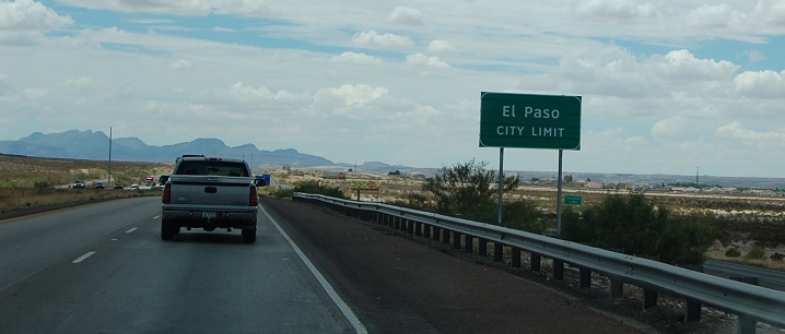
El Paso, TX
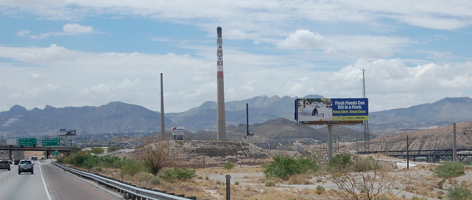
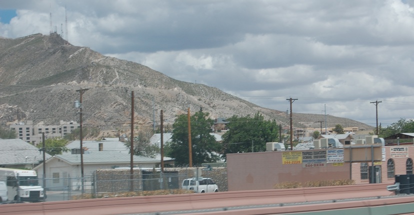
The Sarco smelter stack in El Paso TX - Mexico is off to the right
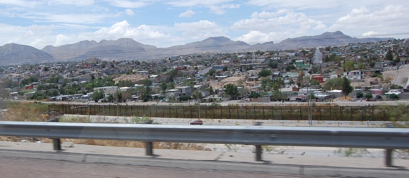
looking right one can see Juarez, Mexico - a dangerous place
off to the left (North) one can see Franklin Mtn. most of which is a park.
one can practice rugged hiking there.
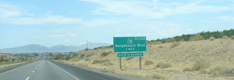
We had lunch in El Paso and then continued on Interstate 10 to Van Horn TX. From there we took old Hwy 90 to Marfa and on to Alpine, TX.
Shortly before Van Horn there was a large Border Patrol stop.
Traffic backed up well over a quarter of a mile.
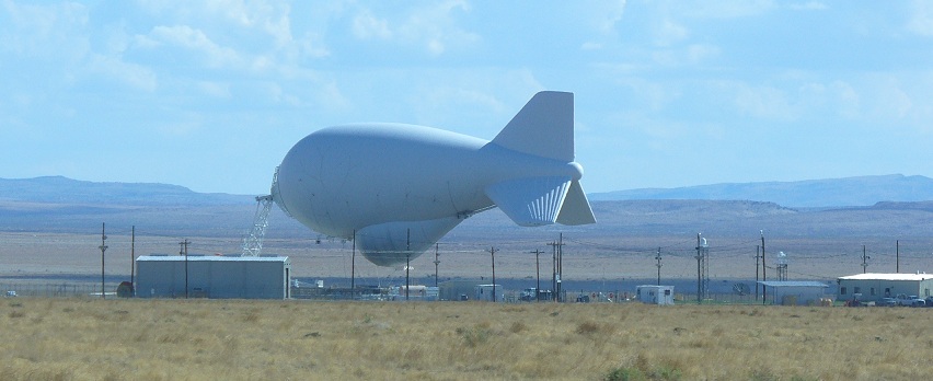
Homeland Security - Aerostat - big tethered baloon for watching the border.
This one located East of Marfa, TX. (There is another one just N. of Rio Grande City, TX.)
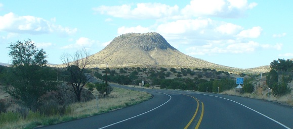
West of Alpine, TX
Next page - Alpine TX through Langtry and Laredo TX following the border home to McAllen TX - - 1 August 2011